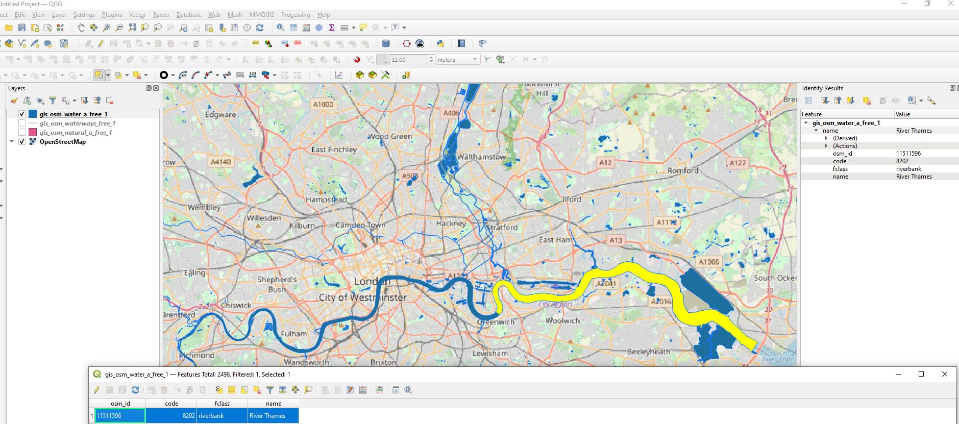
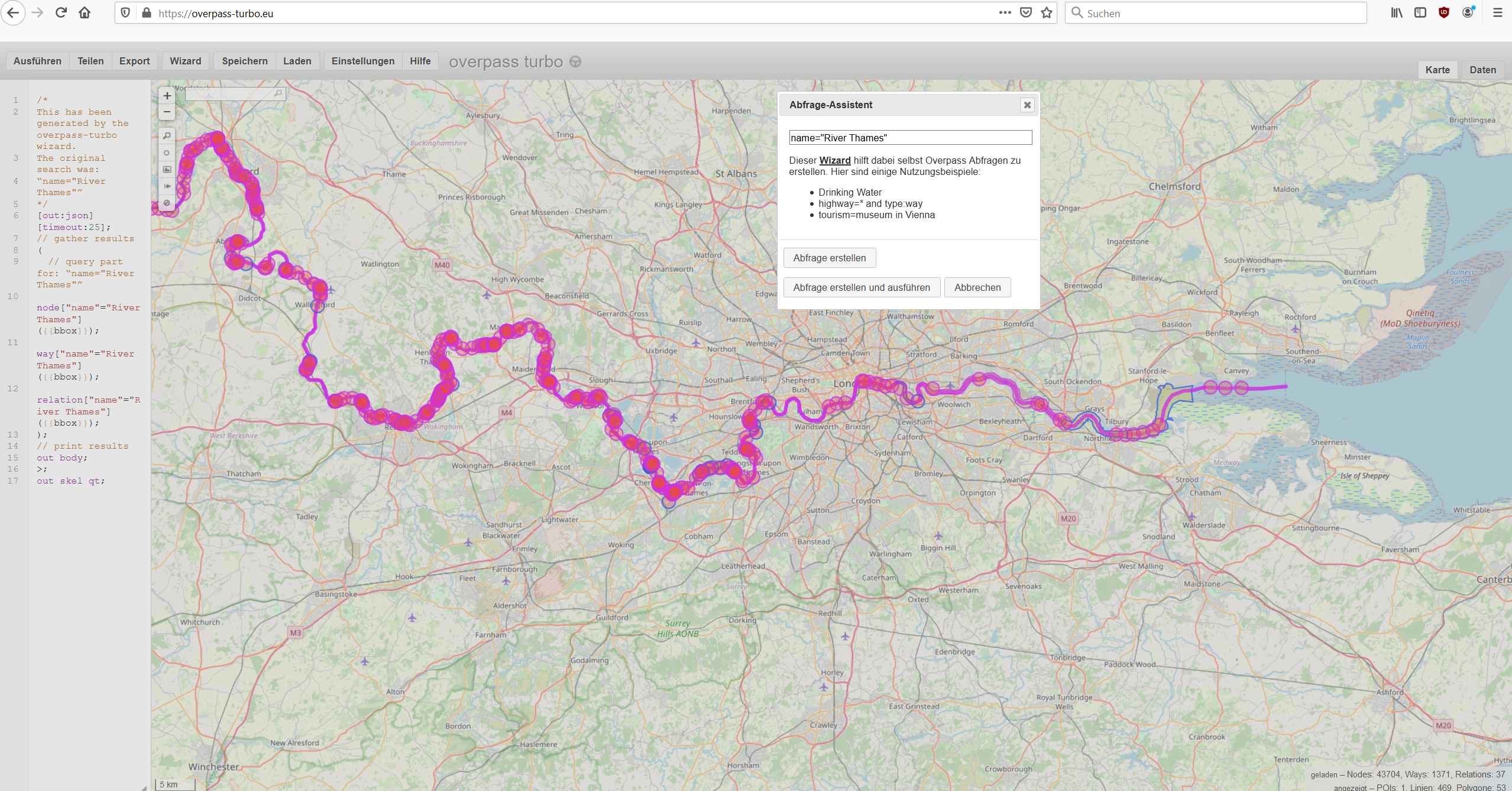
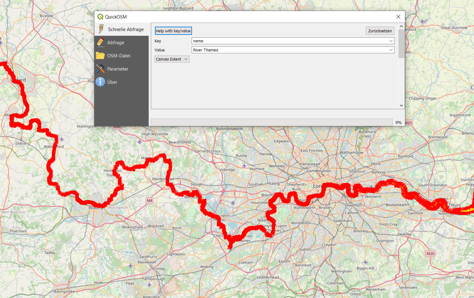
I'm having trouble finding data on the River Thames, specifically in the greater London, UK area. I am trying to georeference and digitize a map of the 1666 fire of London for my final project in my GIS class. I figured if I found a polygon of the Thames that I could use that as a reference feature for digitizing, but for the life of me I can only find polyline data.
Does anyone have any suggestions of where to look?


