I'm using San Francisco dataset offered by OpenStreetMap and I'm trying to get the optimal path using the pgr-astar function of PostgreSQL.
I want to find the historical traffic data of San Francisco roads (roads congestion with time slots), that corresponds to the format of the dataset generated by the map so I can calculate the optimal path based on the historical traffic information of each road segment.
Where can I get this data?
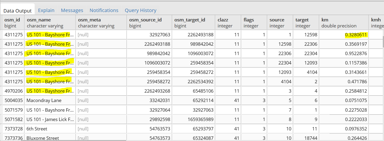
This is the dataset of San Francisco, where a road is divided into many segments.
I found many sites that offer the traffic information but it doesn't match my dataset ( without accurate information of the road segment).
