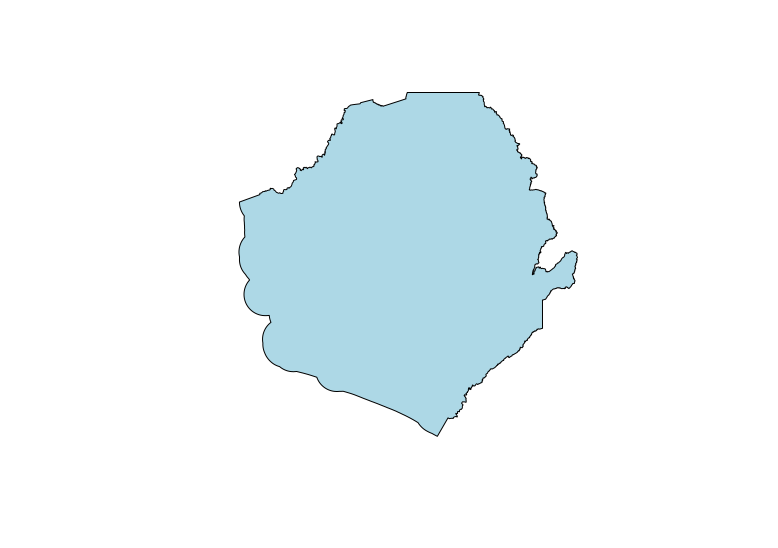
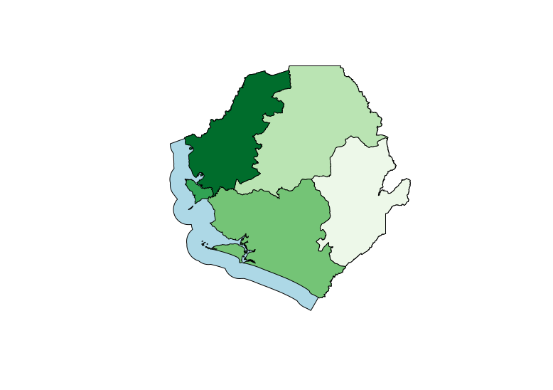
I'm looking for a current map of Sierra Leone provinces (admin 1 level). One province split in 2017, making a total of 5, but I can only find files with 4 provinces.
I've checked humdata, DIVA-GIS, and GADM, and they're all out-of-date . As far as I can tell, there isn't a way to have only admin borders on the OpenStreetMap/Geofabrik data set.
Alternately, is there any workaround? I don't need much, just the polygons for the provinces. This is for use in a scientific manuscript. Ultimately, I want to import it into R and add data to it. Thanks!

