1

I'm trying to find some elevation data - either LiDAR, elevation or DTM - for the UK, specifically in Cheshire. I am a University student, so have access to gov data and other databases. I currently have the OS Terrain 5 which has a resolution of 5m. Ideally I need 1-2m or less. However, I can't find this.

Any ideas of whether this data is out there?

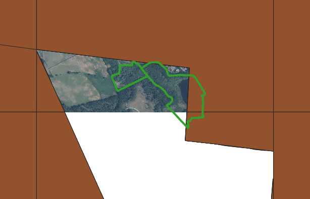
UPDATE: I have tried the government portal, however, my site is currently part of the country that has yet to be mapped. This is the government coverage for the area I am looking for (Brown layer). The green polygon is the area I need data for.
enter image description here

2 Answers 2

0

https://data.gov.uk/dataset/f0db0249-f17b-4036-9e65-309148c97ce4/national-lidar-programme

National lidar survey should fit the bill for you

1
  • Government data has missing gaps for my area. See update. Commented Jun 27, 2022 at 9:05
0

Let me preface this answer by saying that I'm more familiar with how things are mapped in Wales than in England.

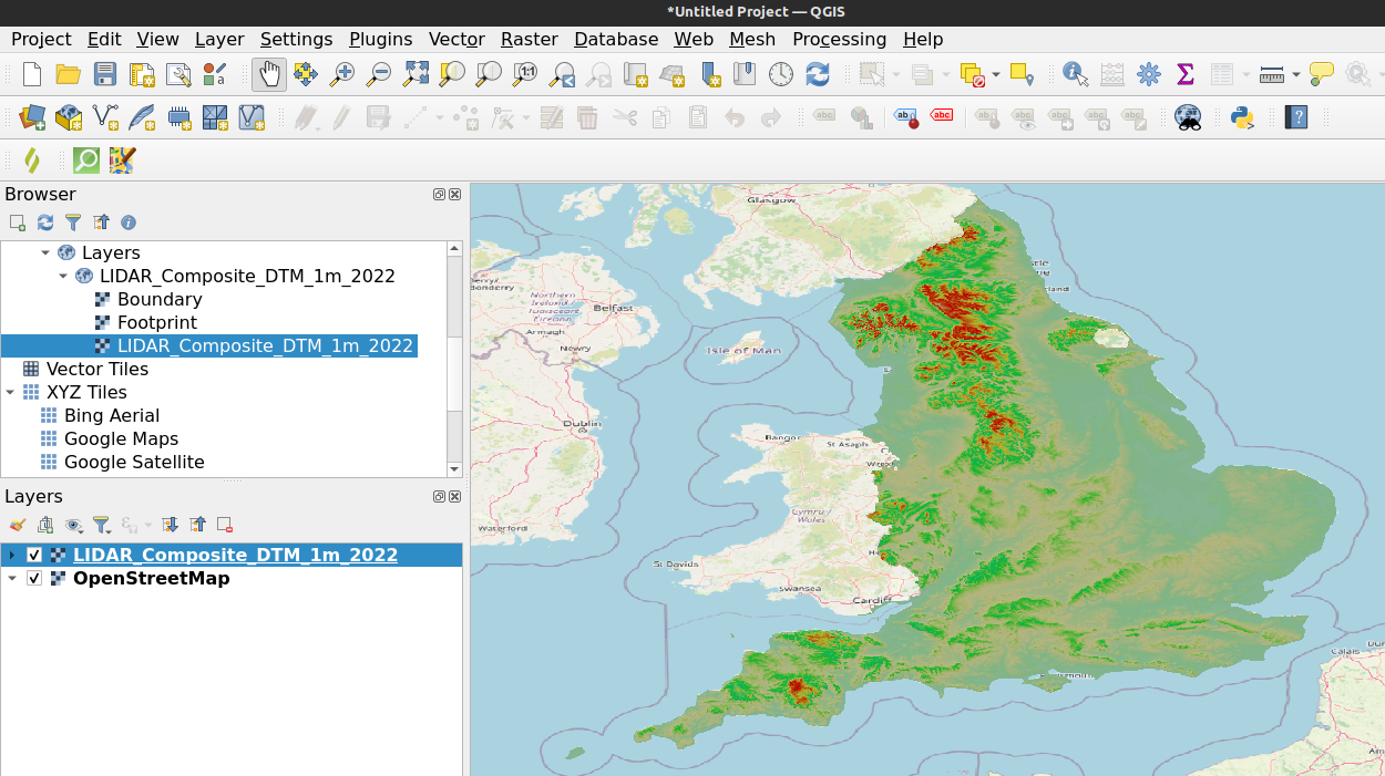
However, DEFRA has a lidar composite dataset available at 1m resolution for 2022. It appears to have complete coverage in Cheshire. You can see this by loading a preview of the DTM in QGIS using the Web Mapping Service (WMS):

enter image description here

If the data is not available at 1m resolution, you might try lowering the resolution:

Your Answer

By clicking “Post Your Answer”, you agree to our terms of service and acknowledge you have read our privacy policy.

Not the answer you're looking for? Browse other questions tagged or ask your own question.