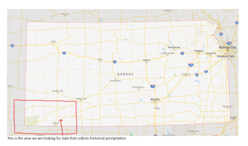
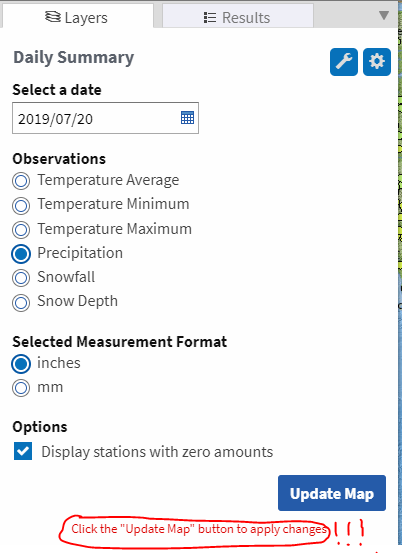
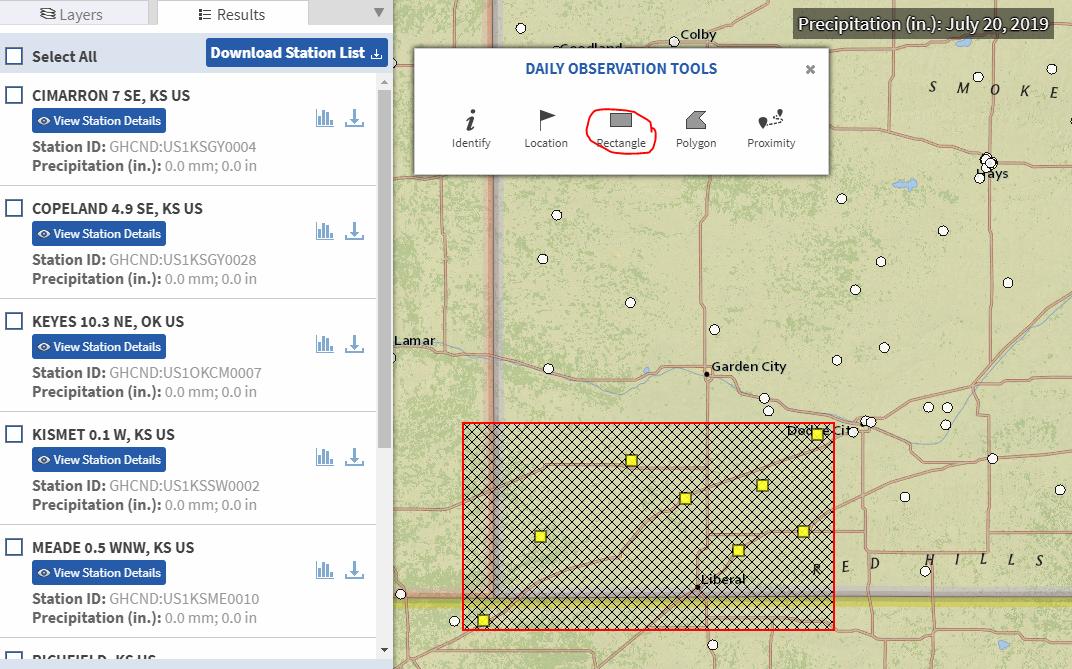
I am here to seek historical precipitation data that displays every area in the United States, but specifically in southwest Kansas on the grassland. Here is the screenshot I am sharing.
With: We would like to find an interactive map that can display in 7, 12, 24 or so hours, or at least a day or so in the past 30 days...
Can you suggest a website?


