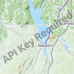
OpenStreetMap to the rescue! Its cycling map shows contour lines and shaded relief (even in Canada):  Like most open data projects (probably Natural Earth, too), they use NASA's [SRTM (OSM Wiki)](http://wiki.openstreetmap.org/wiki/SRTM) dataset that has global coverage, as far as I know. As you seem to need contour shapefiles, refer to the article [Contours (OSM Wiki)](http://wiki.openstreetmap.org/wiki/Contours) for a workflow on how to convert raw SRTM data to shapefiles using GDAL. **Jackpot:** Apparently, [OpenDEM](http://www.opendem.info/opendem_client.html) went through the effort of preparing contour shapefiles worldwide from SRTM with 25m precision. They offer a pretty convenient download for an arbitrary region. (Download manager or wget recommended.)