4

I'm looking for a data layer that can be used to display "green" spaces, which would ideally include parks (city, county, state, national), as well as golf courses and cemeteries.

Is there a single data repository that would contain all of these features?

I only need it for the state of California. I have found several government sites, but have not had too much luck so far. I'd rather not patch together dozens of layers from different sources if possible.
1
  • 3
    If you're looking for open data, the Open Data is probably your best resource.
    – Vince
    Commented Sep 10, 2020 at 3:34

1 Answer 1

4

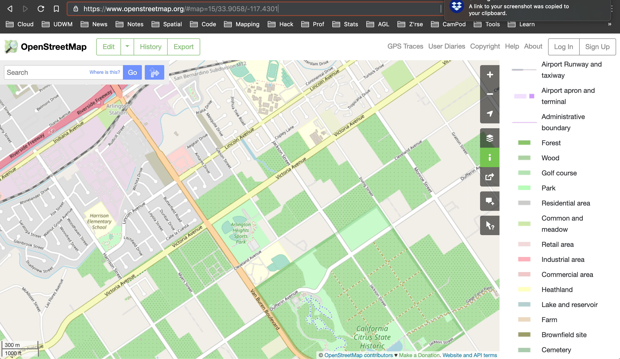
Openstreetmap (OSM) is an excellent source of all kinds of vector data on human infrastructure, particularly in urban areas of the USA and Europe.

enter image description here

You'll need to figure out which OSM tags for polygons refer to the types of green spaces you are interested in.

There are many ways to access OSM data - wholesale country downloads, regions, by tag, etc. Have a look at the OSM wiki on data downloading.

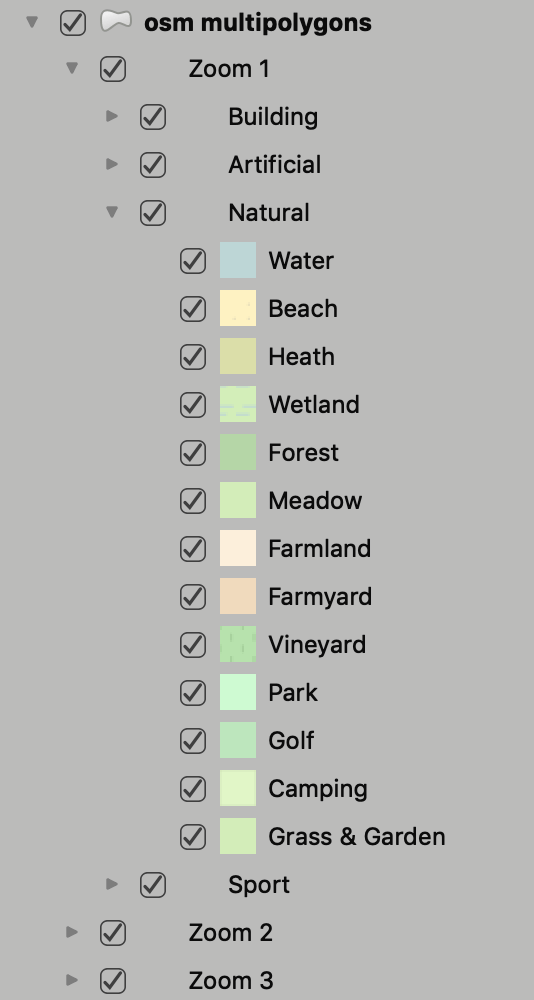
The OSMDownloader plugin in QGIS will let you download rectangular areas and helpfully adds a set of symbols, including a 'natural' category:

Caution! Certainly where I live in Africa we have to be very careful about national park and reserve boundaries in OSM data - they often do not reflect the official boundaries, often with huge errors in both area, position or topology with neighbouring areas.

1
  • 2
    OSM has the same issue in the US - park boundaries are not always the same as official ones.
    – csk
    Commented Sep 12, 2020 at 3:23

Your Answer

By clicking “Post Your Answer”, you agree to our terms of service and acknowledge you have read our privacy policy.

Not the answer you're looking for? Browse other questions tagged or ask your own question.