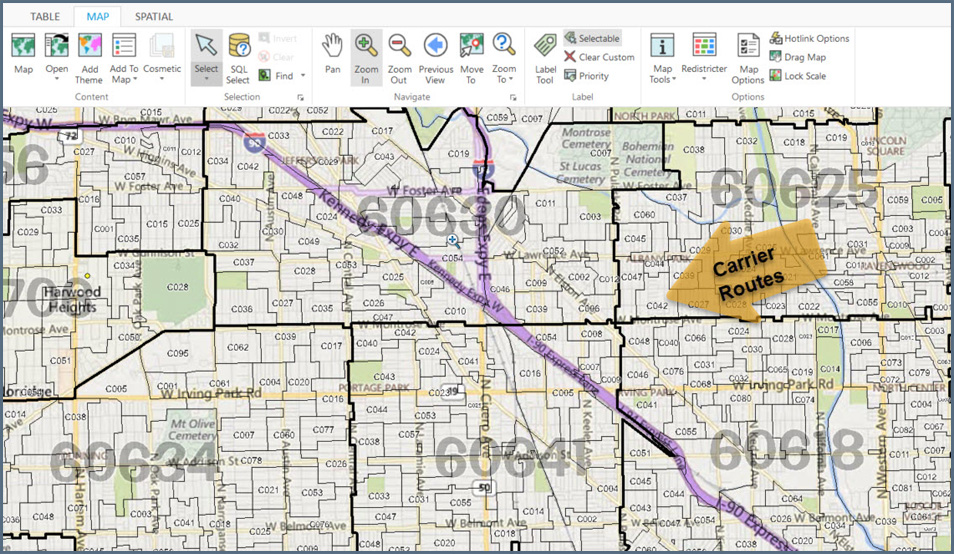
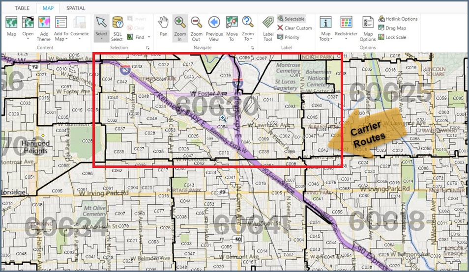
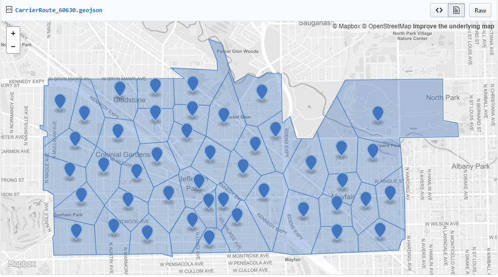
I am trying to find an open database (or cheap commercial) that I can download; perhaps a CSV that would have all centroids of carrier routes for a ZIP code. There are roughly fifteen Carrier Routes per postal ZIP Code, see the image for an example (though the example shows a carrier route polygon; I only need the centroid). In the image, for example the ZIP code 60625 has CXXX carrier routes.
I thought this mapping would be available at the Census Bureau site (because they have ZIP code boundaries) or USPS, but it is not...
There are about 600,000 carrier routes in the US, according to this blog.


