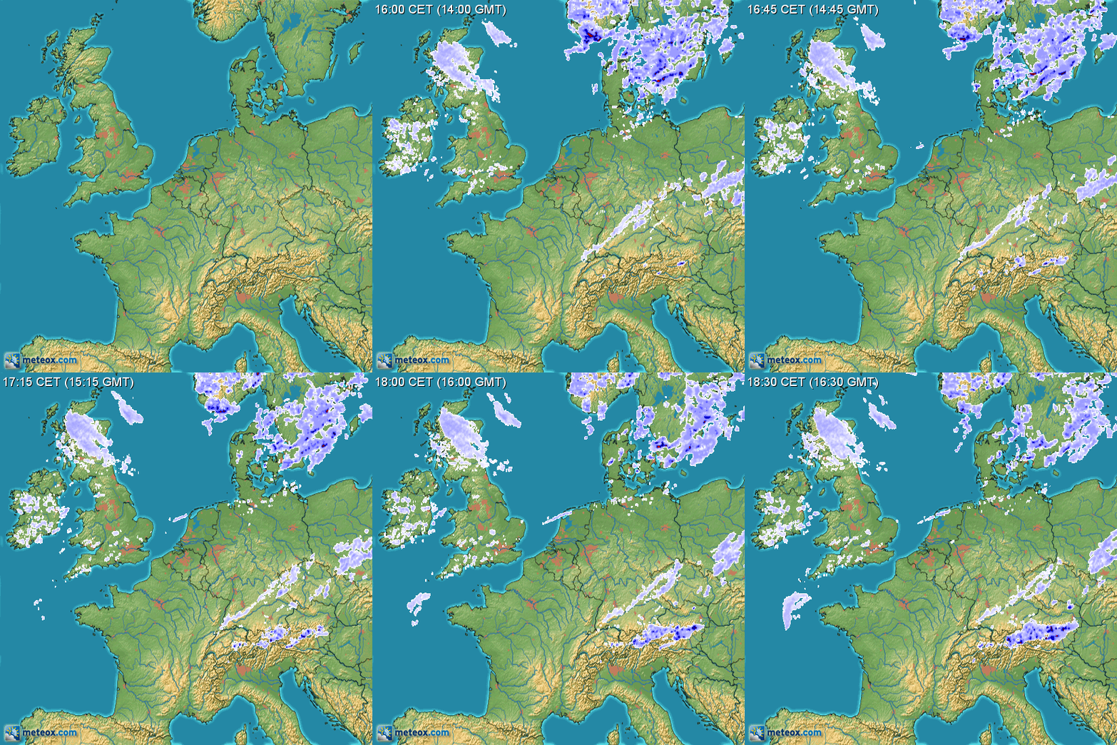
Maps like this ...
... are based on radar precipitation scans. Germany recently changed its law governing the German national weather service (DWD) and made it publish a lot of its data on a new open data server. Precipitation scan data is for instance offered from 17 sites in 5 minutes intervals in down to a 250 meters raster for the last 48 hours for free here.
I'd be interested in having this kind of data for longer periods of time, one entire year at least, if possible, for non-profit experiments & research.
Are there any known services which offer the described data for download in some form? Quite a few private weather sites possess archives of this kind, however all of them explicitly exclude bots and (naturally) prohibit crawling this data off their websites.
I'd love to have the full 5 minute interval data instead of down-sampled or averaged data (e.g. per day), being aware that for Germany and one year the size of the overall raw data set would land anywhere between 50 and 100 GByte (based on what I can extrapolate from what I see on DWD's open data server).
