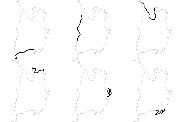
OpenStreetMap hosts GPS Traces that are uploaded by the community. Not all are for driving, but you can probably screen GPS tracks for total distance to find driving ones. Or screen for users that meet a criteria, like this one
Files are downloadable as GPX format, which has many libraries that support parsing and analyzing.
Bulk download of OSM's traces is possible: Blog post and download site
With GPS coordinates and time you could join to a global weather database (exampleexample).
